
Trusted by Industry Leaders and Global Organizations.


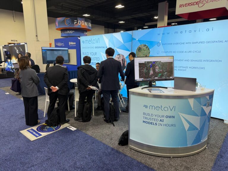
Following a successful week at the exhibition, we would like to thank our visitors and partners for the...

Our redesigned online home is officially live! Explore our enhanced AI solutions for aerial imagery,...